|

Lines of R&D |
Scientific-Technological Offers
Development, Evaluation and
Application of Tools for Planning and Management of Water Resources
- Impacts on hydrometeorological extremes -
droughts and floods - from Regional Climate Models
(RCMs) and observational datasets. Mapping: EXTREMES,
SERIES and SPELLS toolboxs.
-
Evaluation of climate change impacts on runoff: implications in design of hydraulic infrastructures
- Impacts on runoff and water
availability;
- Impacts on hydrological
processes, considering climate-vegetation sinergy (land use
and climate scenarios);
- Application
of advanced tools of modelling and management of water resources at
basin scale, based on GIS.
Application of information
technologies: GIS, remote sensing, mathematical modelling ...
|
Flash flood simulation. Rambla Salada
basin.
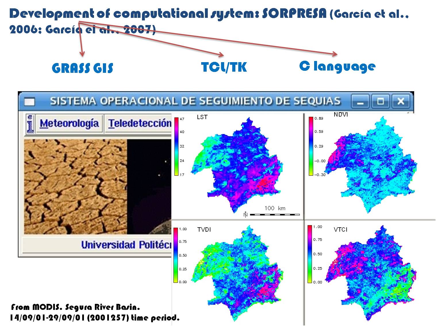
SORPRESA
toolbox. Monitoring of
irrigation areas and drought conditions, from remote sensing. Water
stress indicators.
Applications in the Segura River Basin.

- Flooding risk evaluation, mapping: MIKE 11
and MIKE FLOOD application.
- Development of GRASS GIS-embedded spatio-temporal
toolboxs:
Distributed hydrological models, GUI, Advanced analysis of DEM, RCMs,
remote sensing information (satellite images ...), Engineering software
customization.
|
|


